|
Swim Lake Washington A summer 2020 quest Home Locations Resources |
||
  
|
|
|
During a July swim challenge by my triathlon team's director amidst COVID-19 restrictions, I got the idea of swimming either to or from all the swimmable public access points on Lake Washington. Turns out there's quite a few of them. With the aid of Google Maps I identified over 80 locations. Some are major parks, many are small street end pocket parks.
The only criteria required to count a visit were either launching from that location or swimming close enough to touch bottom and that I needed to be there. After I decided to document with pictures, getting close enough to stand on the bottom was important to me.
The Google map on this page gives you an overview of all these locations. Clicking on any of the bubbles will give you an address which you could use in your GPS to reach this point. You can read the details about any beach and see what the street-side approach looks like by clicking the 'Locations' link on this page and then clicking the link for that beach. You can also browse the swim route videos that I recorded during this quest.
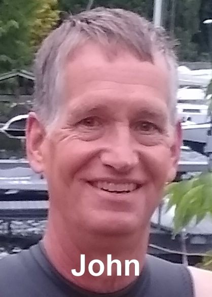
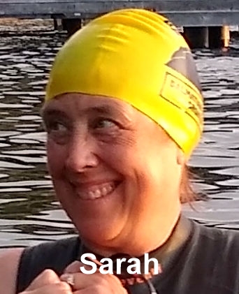
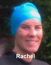
Several of my friends joined me in this quest and their portraits appear on this page. Many thanks to each of them for happily joining in my silliness.
Should you choose to undertake to visit any of these locations be aware of the following:
Mike Nelson, summer 2020
The only criteria required to count a visit were either launching from that location or swimming close enough to touch bottom and that I needed to be there. After I decided to document with pictures, getting close enough to stand on the bottom was important to me.
The Google map on this page gives you an overview of all these locations. Clicking on any of the bubbles will give you an address which you could use in your GPS to reach this point. You can read the details about any beach and see what the street-side approach looks like by clicking the 'Locations' link on this page and then clicking the link for that beach. You can also browse the swim route videos that I recorded during this quest.
Several of my friends joined me in this quest and their portraits appear on this page. Many thanks to each of them for happily joining in my silliness.
Should you choose to undertake to visit any of these locations be aware of the following:
- You are doing open water swimming and sharing the lake with a lot of other users, including power boats
- Swimming with a buddy and early in the day (right around dawn) is best as most other users are still in bed
- Since you're outside of defined swim beaches stay close to the shore and docks
- Make yourself visible by wearing a brightly colored swim cap and towing a visibility buoy like this
Mike Nelson, summer 2020